
1979–present
Flag of the Marshall Islands
Hoisted in 1979 when the territory became self-governing: two diverging orange and white rays and a 24-point white star on deep blue, representing the nation's location near the equator.
The Marshall Islands is an archipelago of 1,156 islands and islets in the central Pacific and was the site of multiple US nuclear weapons tests from 1946 to 1958, including the Castle Bravo test in 1954 — the largest US nuclear test ever conducted, more than 1,000 times the power of the Hiroshima bomb. The nation gained independence from US administration in 1986. Like Kiribati, the Marshall Islands faces a severe existential threat from rising sea levels.
Population and area are rounded.
The two diagonal stripes, orange for courage and white for peace, widen as they rise to show growth, and stand for the two island chains, Ratak (sunrise) and Ralik (sunset). The 24-pointed star stands for the 24 municipalities, its four longer points for the Christian cross. The flag was adopted in 1979.
The Marshall Islands consists of 29 coral atolls and five islands in two parallel chains, Ratak and Ralik. The flag was designed by Emlain Kabua, the wife of the first president, Amata Kabua. The country became self-governing in 1979 and signed a Compact of Free Association with the United States in 1986. Bikini Atoll, in the north, was the site of US nuclear tests from 1946 to 1958.
Blue with diagonal orange-white stripes from lower left to upper right and a white sun in the upper left.
The Marshall Islands was the site of 67 US nuclear tests between 1946 and 1958.
Every flag that has flown over the Marshall Islands, from today back through time.
Hoisted in 1979 when the territory became self-governing: two diverging orange and white rays and a 24-point white star on deep blue, representing the nation's location near the equator.
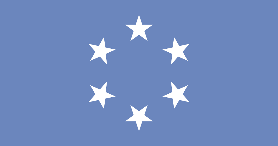
A light-blue flag with six white stars in a circle, one for each district of the US-administered Trust Territory, flown until the Marshalls adopted their own flag.

Germany claimed the Marshalls in 1885, but in 1914 Japan seized them and governed Micronesia as the South Seas Mandate (Nan'yō) under the Japanese flag for three decades — settling colonists, building infrastructure, and fortifying the atolls. American forces took them in fierce WWII battles like Kwajalein, after which they passed to US trusteeship.
Empires, kingdoms and republics that once covered part of the Marshall Islands.
A US-administered UN trust territory across Micronesia after the Second World War, which split into the modern Federated States of Micronesia, Marshall Islands, Palau and the Northern Marianas.
The 1 states, provinces and regions of the Marshall Islands with their own flags.
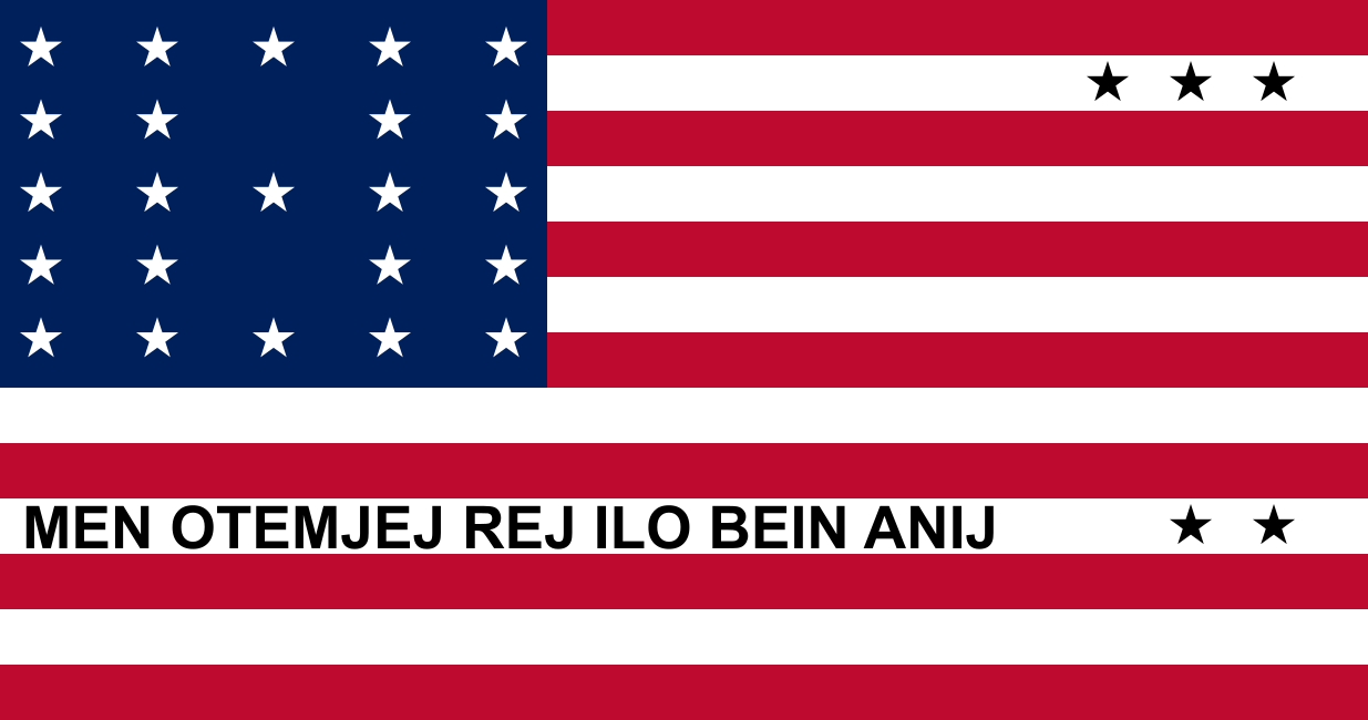 Bikini